

If you don’t see this in your navigation, your administrator can switch the module on under Administration → Modules, or it may not be included in your plan. The module is called GPS tracking there.
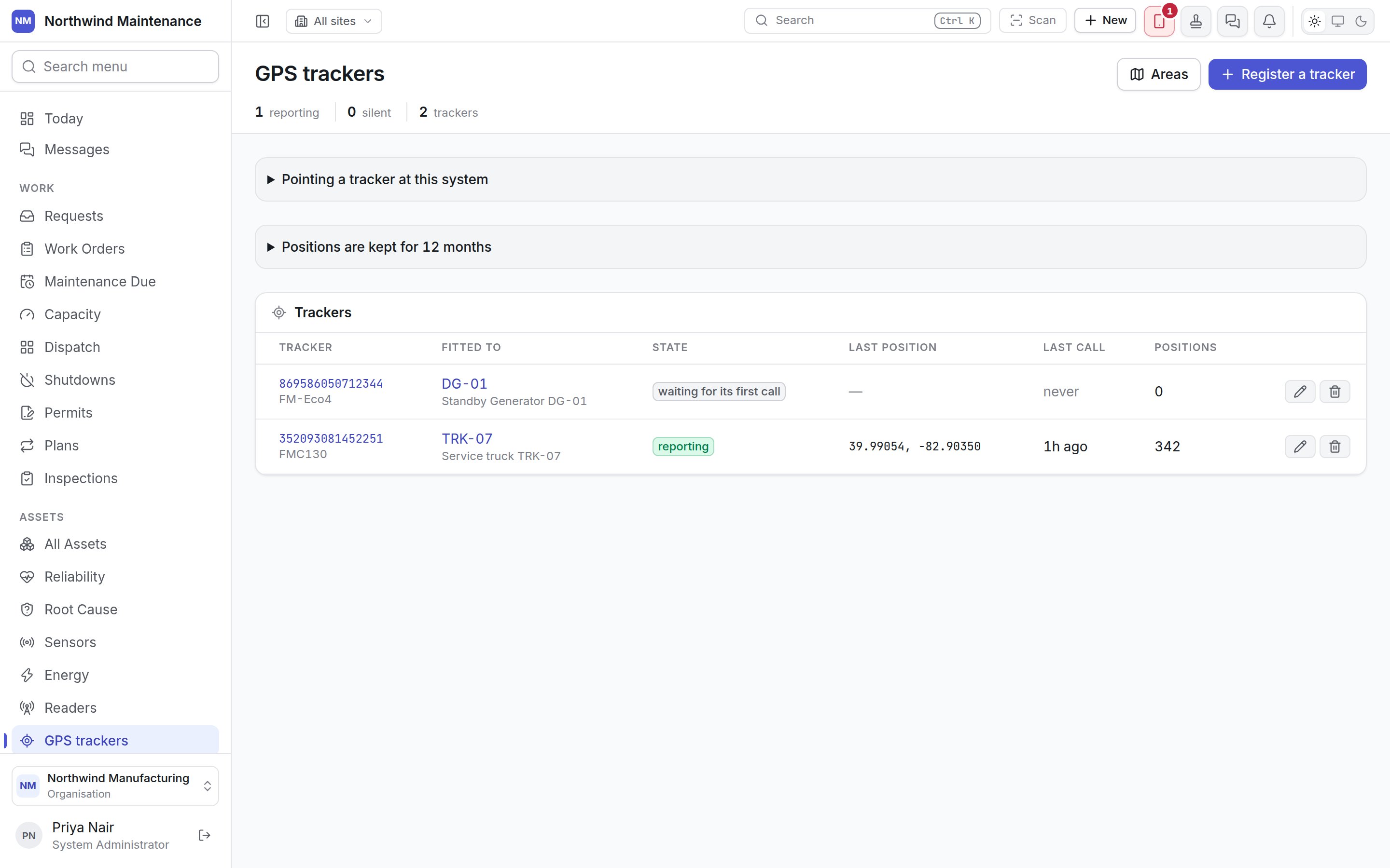
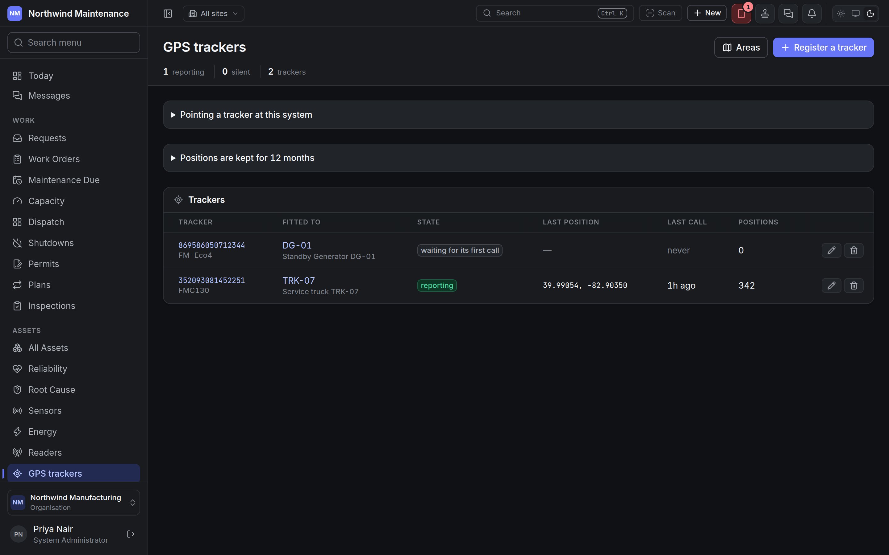
The header
Areas opens the areas screen. Register a tracker adds one.
Pointing a tracker at this system
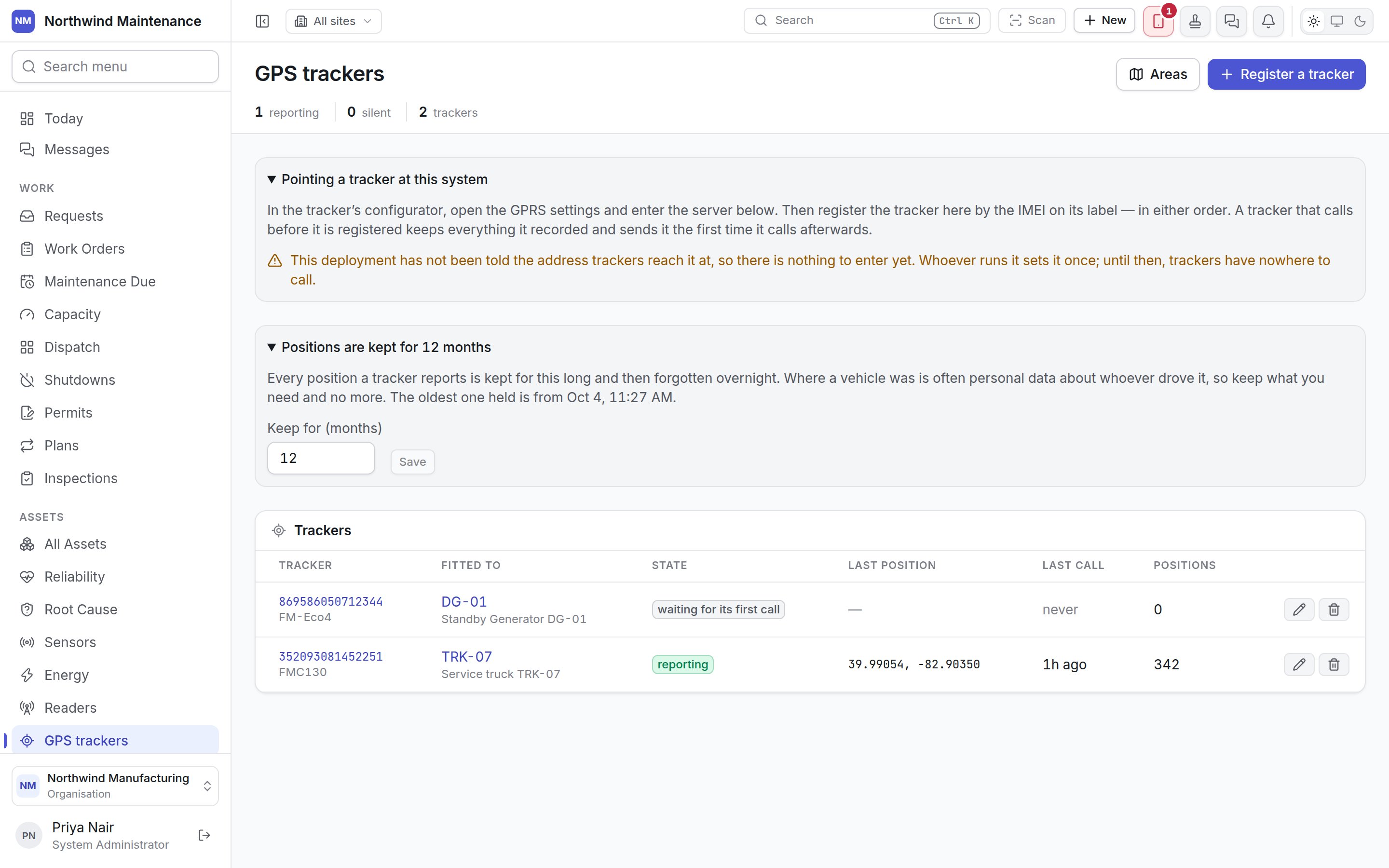
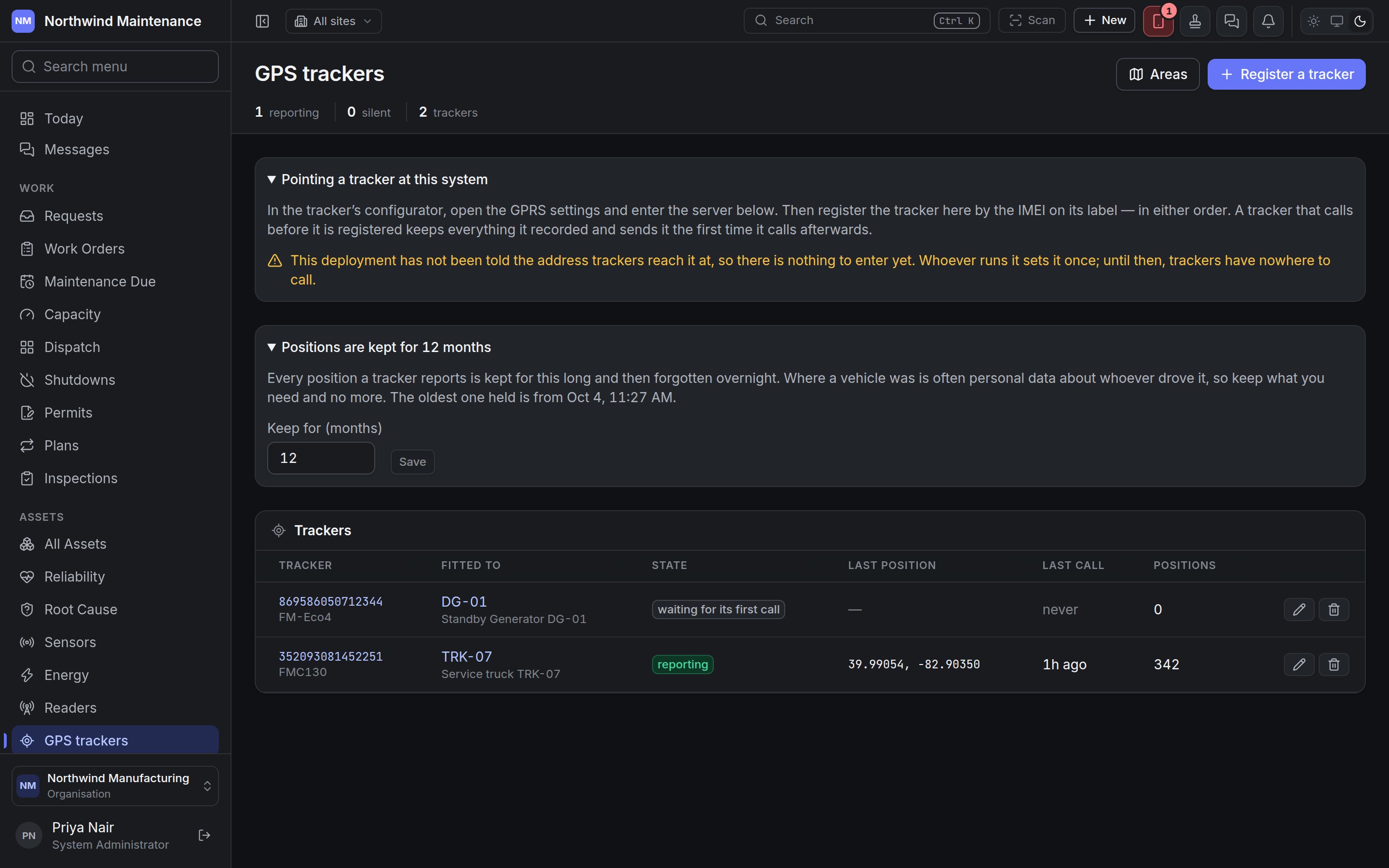
If the panel says this deployment has not been told the address trackers reach it at, there is
nothing to enter yet. Ask your administrator or support contact.
How long positions are kept
Positions are kept for … months sets how long every reported position is kept before it is forgotten overnight. Where a vehicle was is often personal data about whoever drove it, so keep what you need and no more. The panel shows the date of the oldest position held. Keep for (months) changes it; shortening it warns that older positions will be forgotten that night and that keeping them longer again afterwards does not bring them back.The tracker list
If any tracker has stopped calling, a Not calling section lists those first.
Each row has Edit tracker and Remove tracker buttons.
Removing a tracker
Remove tracker asks you to confirm. Its trail is kept and the IMEI is freed, so another organisation can register the device if it is sold on. If it keeps calling, it is treated as a tracker nobody has registered.Registering a tracker
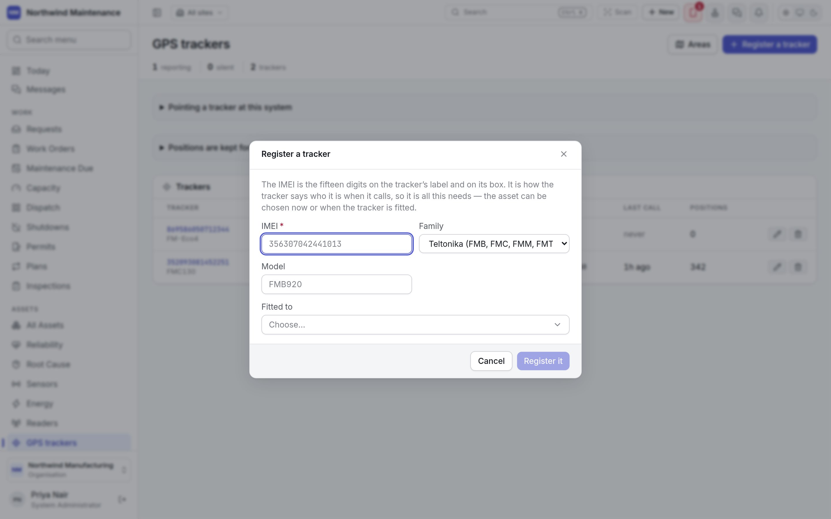
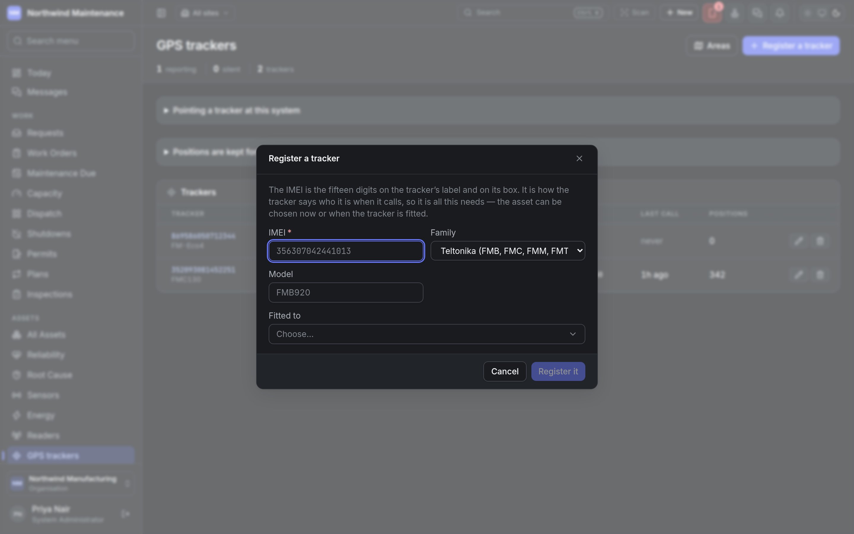
Register it saves it. Registering needs permission to register GPS trackers.
Editing a tracker
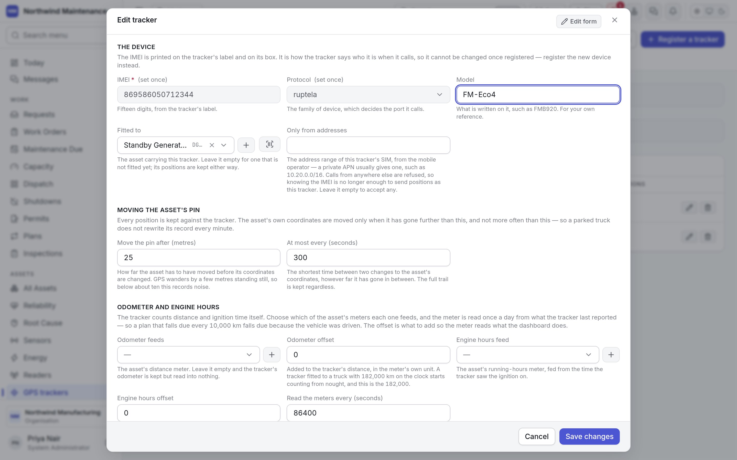
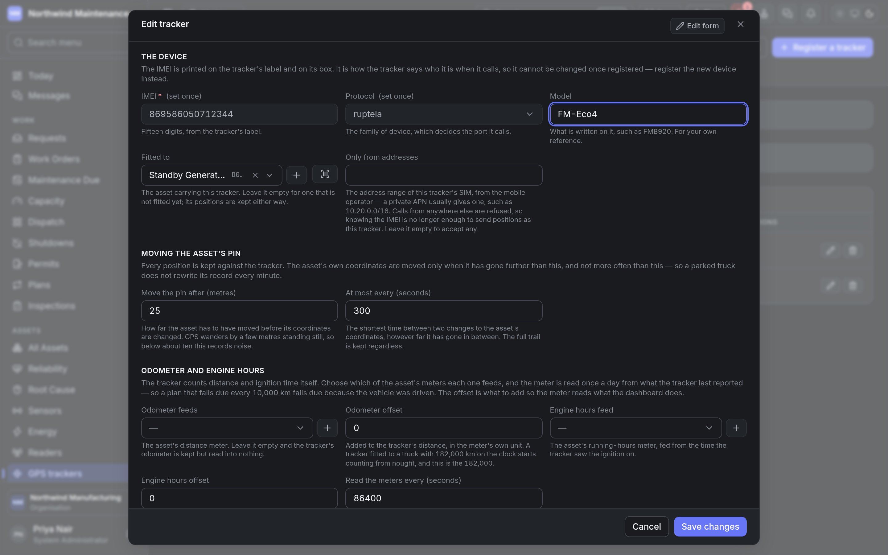
One tracker
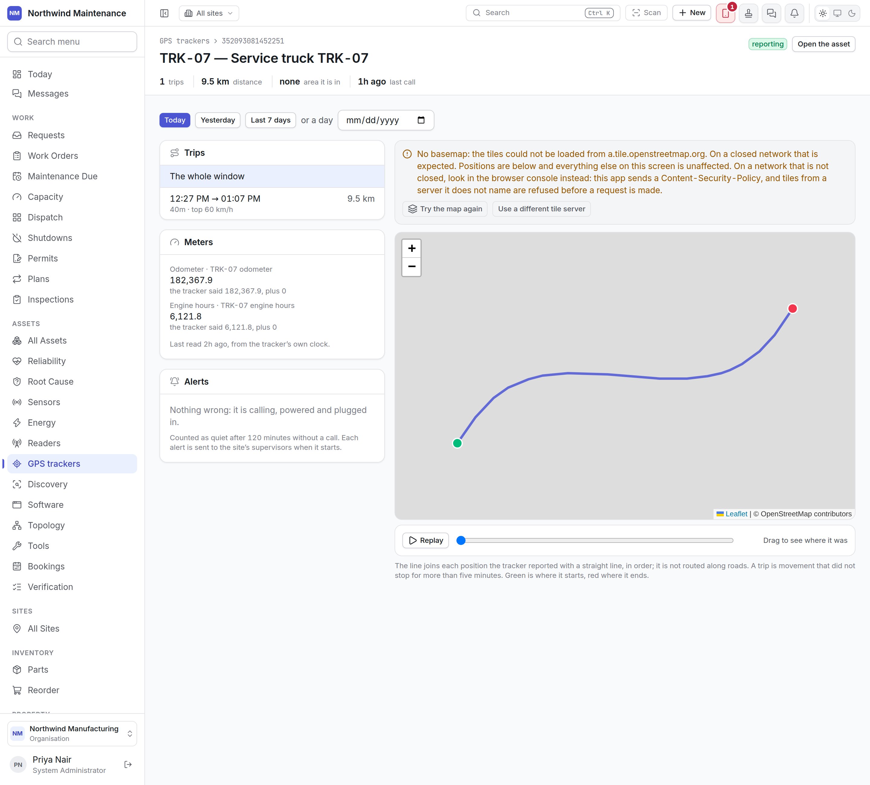
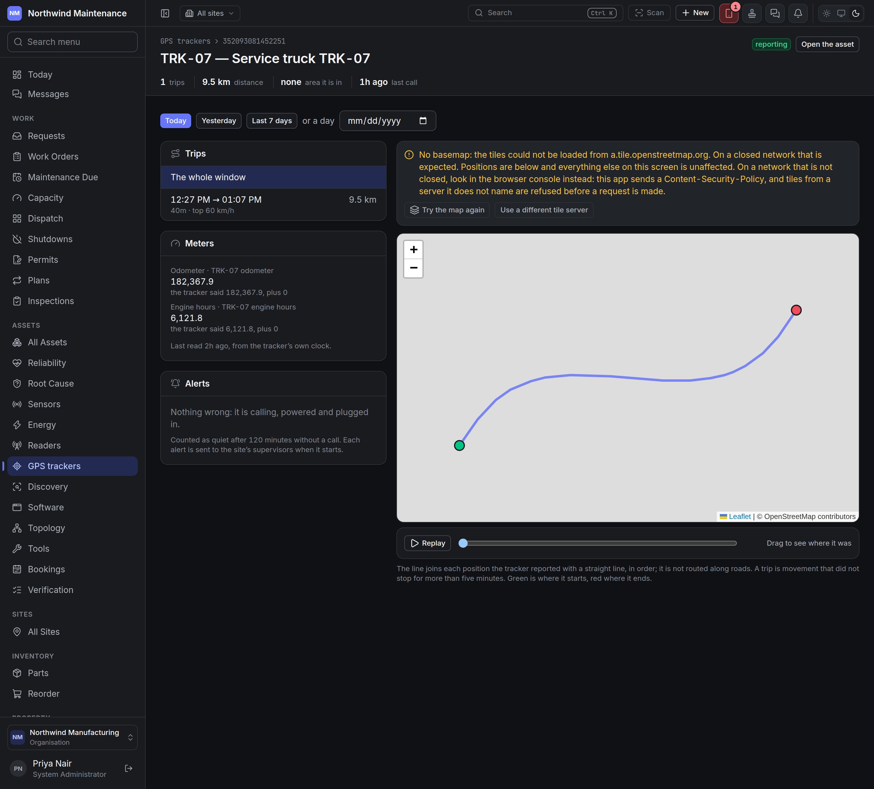
Each alert is sent to the site’s supervisors when it starts. Silence is noticed by the system after
Offline after; the other four are reported by the tracker itself. They can also drive
automation rules.
The map needs map tiles from a tile server. On a closed network the map shows No basemap with
the positions still drawn, and offers Try the map again and Use a different tile server,
where an administrator can enter your organisation’s own tile server for everybody.
Areas
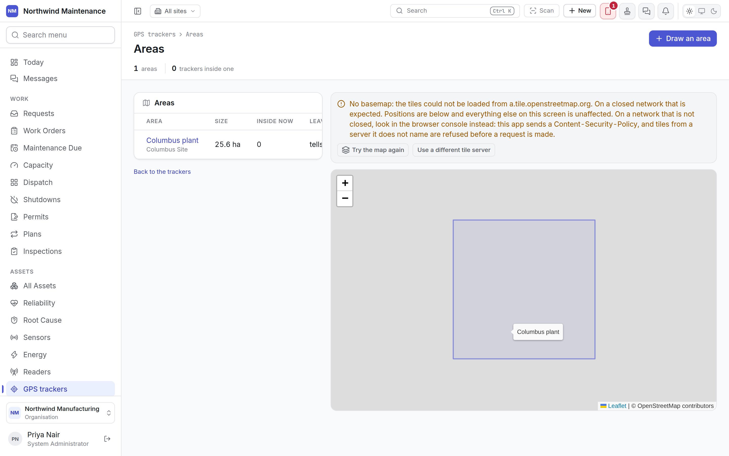
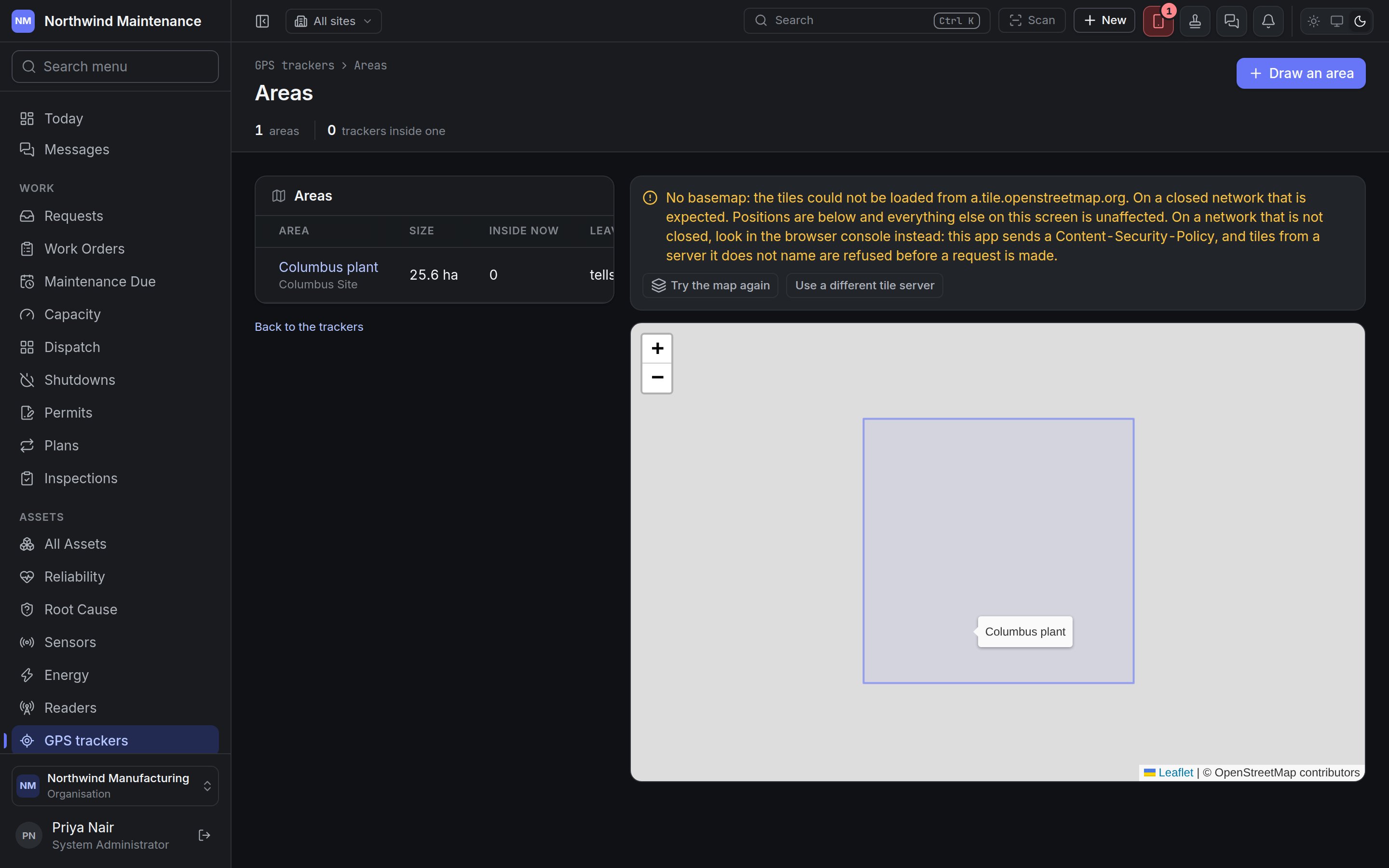
- A tracked asset whose position falls inside an area is moved to that site or location, and the asset’s movement history says when.
- A location’s area wins over its site’s, so a truck in the workshop yard is in the workshop yard.
- Leaving every area can tell the site’s supervisors — the half that matters for plant that should not leave a site.
Each row has Redraw area and Remove area. Removing an area keeps the movements it caused in each
asset’s history; trackers inside it are let go and nothing more is moved because of it.
Drawing an area
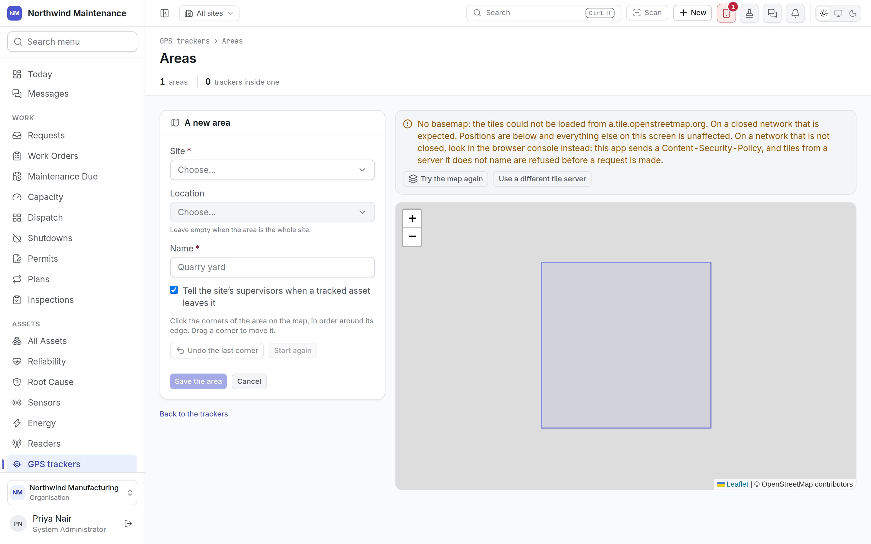
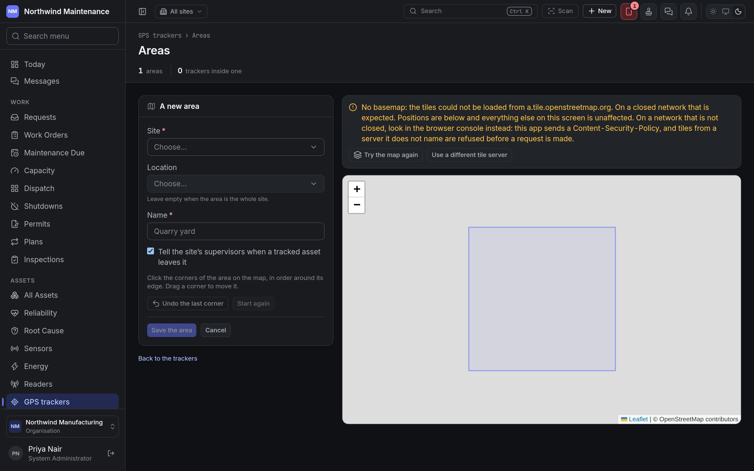
Click the corners of the area on the map in order around its edge; drag a corner to move it. Undo
the last corner and Start again help, and Save the area checks that the outline is closed and
does not cross itself before saving. Drawing and changing areas needs the tracker permissions.